Family historians spend much of their time collecting names, dates and places. We search census returns, parish registers, birth certificates and probate records in an effort to reconstruct the lives of our ancestors. Yet one of the most powerful tools available to genealogists is often overlooked: maps.
Maps allow us to move beyond names and dates and place our ancestors into the physical landscapes where they lived, worked and raised their families. A census entry may tell us that an ancestor lived at a particular address, but a map can show us what stood next door, where they worshipped, where they worked and how their surroundings changed over time.
Why Maps Matter
Historic maps provide context.
Imagine discovering that an ancestor lived in a village in 1851. A map can reveal whether they lived beside a church, near a railway station, next to a river crossing or surrounded by farmland. These details help us understand daily life in a way that records alone cannot.
Maps also reveal change. Entire streets disappear. Villages expand into towns. Railways arrive and later vanish. Industries grow and decline. By comparing maps from different periods, family historians can watch these changes unfold and understand how they affected their ancestors.
Starting With An Address
Many family history records contain location information.
Useful sources include:
- Census returns
- Electoral registers
- Trade directories
- Parish records
- Probate documents
- Newspaper reports
Building a timeline of addresses is often the first step towards map-based research.
Once a location has been identified, historic maps can be used to place it within its wider setting.
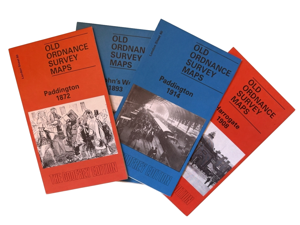
Ordnance Survey Maps
For many researchers, Ordnance Survey maps are the most useful historic maps available.
The detailed large-scale maps produced during the nineteenth and twentieth centuries show individual buildings, roads, railways, churches, schools and other landmarks.
The larger twenty-five-inch maps are particularly valuable because they often show property boundaries, outbuildings and even garden layouts.
When trying to locate a family home, an Ordnance Survey map is usually the best place to start.
The National Library of Scotland
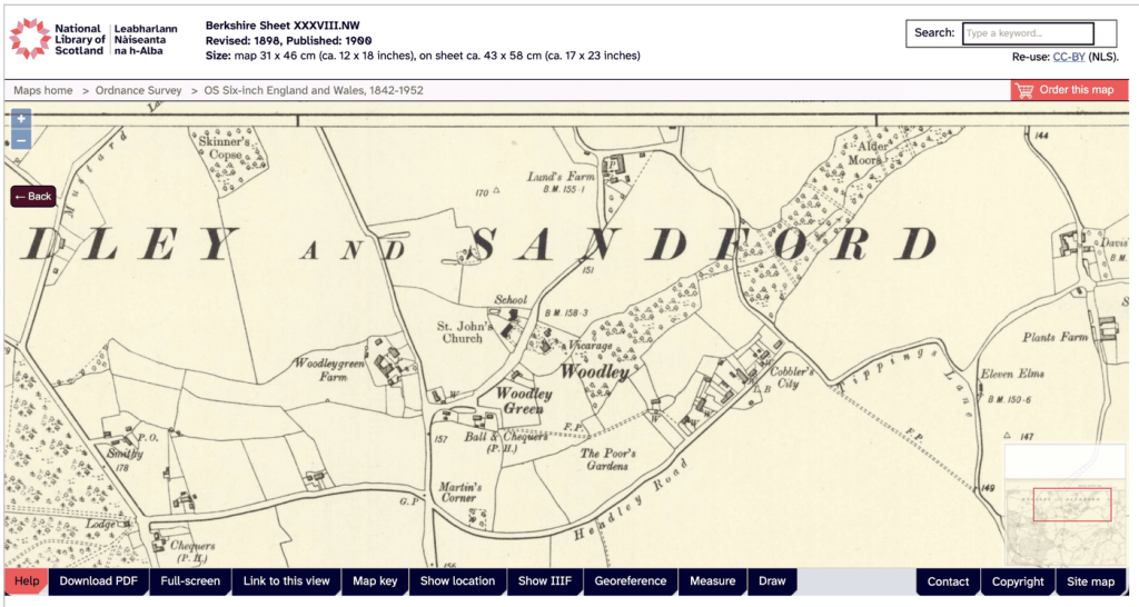
One of the finest resources available to family historians is the National Library of Scotland’s online map collection.
Despite its name, the collection covers the whole of Great Britain.
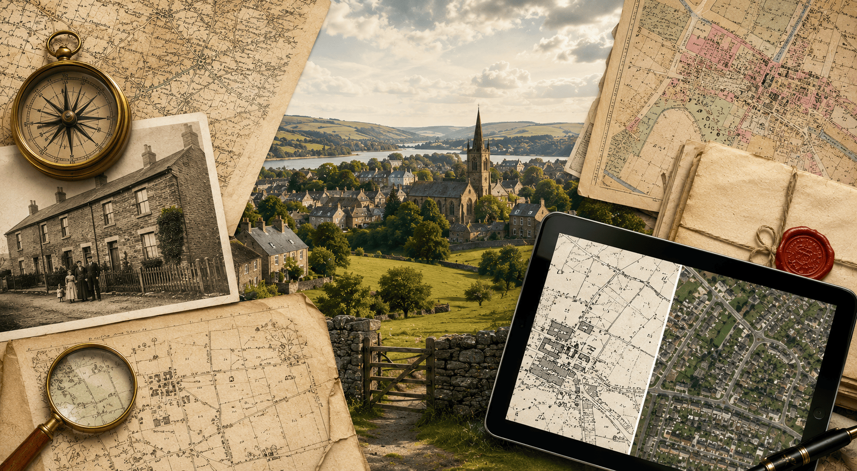
The website allows users to compare historic maps with modern mapping and aerial photography using side-by-side views and transparency overlays.
This feature makes it possible to locate historic properties with remarkable accuracy.
Many researchers are amazed to discover that a house visible on an 1890 map can often be identified on a modern satellite image within minutes.
Tithe Maps and Apportionments
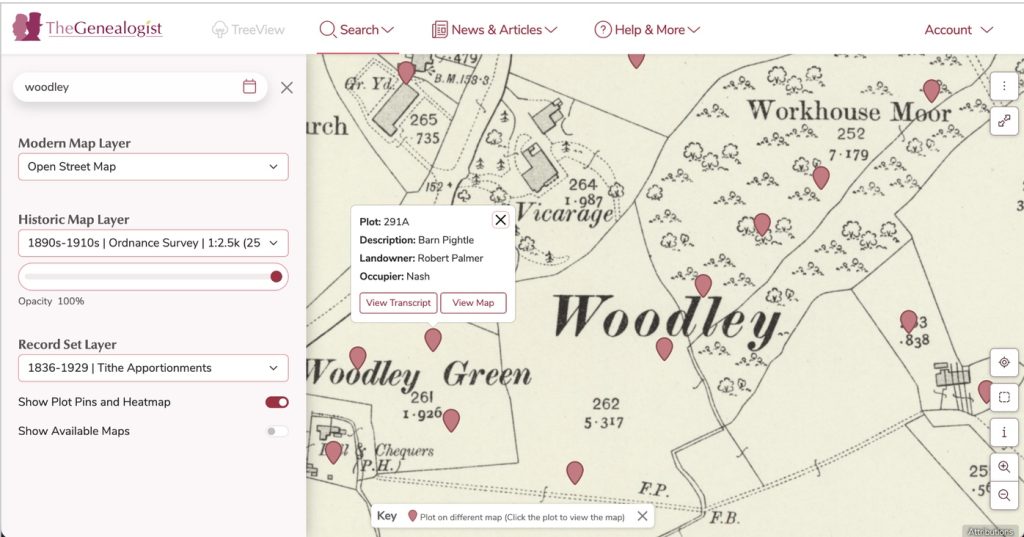
For rural family history research, tithe maps are among the most valuable resources available.
Produced following the Tithe Commutation Act of 1836, these maps recorded land ownership and occupation throughout much of England and Wales.
The maps themselves show numbered plots of land. These numbers correspond to accompanying documents known as apportionments.
The apportionments typically record:
- Owner
- Occupier
- Acreage
- Land use
Together they provide a detailed picture of rural communities and agricultural life.
Enclosure Maps
Enclosure transformed much of the British countryside during the eighteenth and nineteenth centuries.
Common land was divided into privately owned plots, fundamentally changing the rural landscape.
Enclosure maps document these changes and often identify landowners and newly created boundaries.
For researchers with agricultural ancestors, these maps can provide important insights into the development of local communities.
Estate and Manorial Maps
Large estates frequently commissioned detailed surveys of their landholdings.
These maps often identify tenants, farms and individual fields.
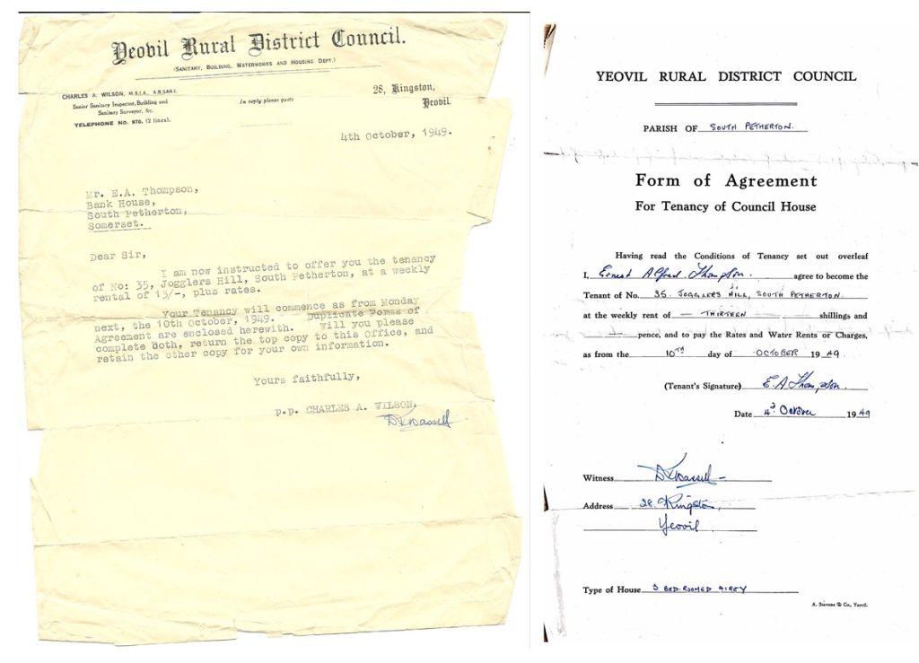
Combined with estate records, rent books and tenancy agreements, they can reveal generations of occupation by the same family.
In some areas they provide information that predates detailed Ordnance Survey mapping by many decades.
Property Deeds
Property deeds are an underused source for family historians.
A deed may contain detailed descriptions of a property, identify family relationships and document transfers of ownership across generations.
Inheritance, marriage settlements and sales can all appear within deed collections.
County archives are often the best place to begin searching for older deeds.
Land Registry Records
Modern Land Registry records can help bridge the gap between historic and contemporary property research.
Title Plans show property boundaries while Title Registers provide information about ownership and legal interests.
Although coverage varies depending on the age of the property, these records can often help connect a historic address with its modern equivalent.
Charles Booth’s Poverty Maps
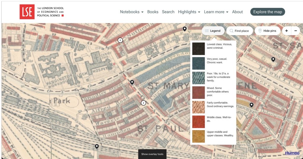
One of the most visually striking resources available to genealogists is Charles Booth’s survey of London.
Conducted during the late nineteenth century, the survey classified streets according to social and economic conditions.
The resulting maps use colour coding to indicate relative wealth and poverty.
For anyone researching London ancestors, these maps provide valuable social context and help explain the communities in which families lived.
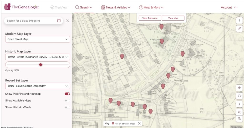
The Lloyd George Domesday Survey
The Finance Act of 1910 created a nationwide valuation survey of land and property.
Often referred to as the Lloyd George Domesday Survey, these records document ownership, occupation and property values immediately before the First World War.
Many records can be linked directly to maps, providing an unusually detailed picture of communities at the beginning of the twentieth century.
National Farm Survey
Conducted between 1941 and 1943, the National Farm Survey recorded information about agricultural land throughout Britain.
The survey assessed productivity, land use and farming practices during wartime.
For those researching farming families, it provides a valuable snapshot of rural Britain during a period of enormous national change.
Lost Places and Phantom Addresses
One of the most rewarding aspects of map research is rediscovering places that no longer exist.
Entire streets have disappeared through redevelopment. Villages have been abandoned or flooded by reservoirs. Industrial expansion and motorway construction have erased once-thriving communities.
Historic maps allow researchers to recover these lost landscapes and reconnect with places that have vanished from modern maps.
Bringing It All Together
The real power of maps lies in combining them with other sources.
- A census return identifies an address.
- A tithe map locates the property.
- An Ordnance Survey map shows the surrounding community.
- A deed reveals ownership.
- A modern satellite image shows what remains today.
Together these sources transform family history from a collection of records into a vivid picture of the places where our ancestors lived their lives.
Maps do not simply show where our ancestors were. They help us understand the world they knew.